


6 Red Flags on a Tar River Floodplain Listing
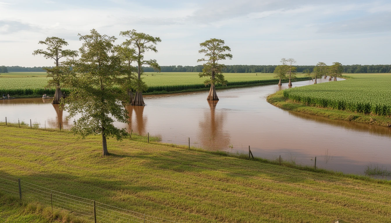
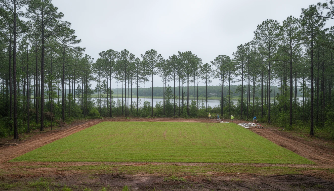
Say you are standing on a wooded ten-acre parcel off a dirt lane outside Grimesland. Cleared house site, pines along the fence line, the Tar River somewhere behind the trees. The listing says the land has never flooded and that no flood insurance will be required.
That second sentence is the one to slow down on. On a river parcel in Pitt County, the answer to “will I have to carry flood insurance” does not come from the listing agent, the seller, or me. It comes from the FEMA map for that exact parcel, the elevation of whatever sits on it, and how your lender reads both.
I pull flood information on river properties as a matter of course, and the same six things trip buyers up again and again. None of them are exotic. All of them are cheaper to sort out before you write the offer than after.
1. The listing states that no flood insurance is required
Federal flood insurance is required on a federally backed loan when the structure sits in a mapped Special Flood Hazard Area. That covers most conventional, FHA, VA, and USDA mortgages, so the statement is worth checking rather than accepting.
The map is the authority, and it is parcel-specific. Pull it yourself at the FEMA Flood Map Service Center, msc.fema.gov, and search the street address, not the general area. A lot on the dry side of a zone line and the lot next door on the wet side can look identical from the road.
If a parcel really was mapped into a hazard area by mistake, or the ground was raised with fill before the study, the path out is a Letter of Map Amendment or a Letter of Map Revision-Based on Fill. Both require survey work by a licensed surveyor or engineer, and FEMA normally issues its determination in about 60 days. Those are the only documents that remove the federal purchase requirement. Your lender can still require coverage anyway, even with one in hand.
2. Nobody can produce an elevation certificate
An elevation certificate is the survey document that records the lowest floor elevation of a structure against the base flood elevation. It is the single biggest input into what a flood policy costs, and it is why two houses on the same street can carry very different premiums.
Here is the part people miss: an elevation certificate does not waive the insurance requirement. It prices it. Buyers sometimes hear “we have the elevation certificate” and take it as an all-clear, when all it does is document where the building sits.
Pitt County requires an elevation or floodproofing certificate for structures and utilities in the AE zone, so if there is a structure on the parcel, there may already be one on file with the county, in addition to whatever the seller has. Ask for it by name. If it does not exist, a licensed surveyor can produce one, and that cost belongs in your budget before the offer, not after.
3. The disclosure form’s flood questions came back blank or marked “NR”
Since July 1, 2024, the North Carolina Residential Property and Owners’ Association Disclosure Statement has asked sellers flood-specific questions: whether the property is in a designated flood hazard zone (F5), whether it has ever had flood or water damage (F6), whether a flood damage claim has ever been filed, including with the National Flood Insurance Program (F7), whether a policy is in place now (F8), whether federal disaster flood assistance was ever received (F9), and whether an elevation certificate exists (F10).
Two answers deserve attention. First, “NR” means no representation. It can mean the seller does not know, and it can mean the seller knows and is choosing not to say. Either way, it is your homework now, not theirs.
Second, the form itself notes two things buyers rarely ask about. An existing flood policy may be assignable to you at a lower premium than a brand new one. And if the property has received federal disaster assistance, the requirement to carry flood insurance passes down to all future owners. Ask about both by name.
4. Work in the mapped zone that was never permitted
Pitt County requires a Floodplain Development Permit for all development inside the AE zone, an elevation or floodproofing certificate for structures and utilities there, and a No-Rise certification for anything inside the floodway. A floodplain review rides along with any building permit for a lot in or next to a mapped hazard area.
Development means more than a house. Fill, grading, a paved pad, a shop slab, a deck, a manufactured home, and equipment storage all count.
Greenville, Winterville, and Farmville issue their own building permits, so floodplain review for a lot inside those towns runs through the town. The county handles floodplain work for Ayden, Bethel, Falkland, Farmville, Fountain, Grifton, Grimesland, and Simpson, and the planning department can pull the permit file for an address. Unpermitted work in a mapped zone tends to surface at the worst moment, which is resale or the next construction permit, and substantial improvement rules can then require bringing a structure into compliance.
5. The insurance quote arrives after your due diligence period ends
New National Flood Insurance Program policies take effect at 12:01 a.m. on the 30th calendar day after the application date and the premium payment. That is a real timeline, and on a fast closing it can leave you owning a house with no flood coverage for the first few weeks.
Do the quote while you still have a due diligence exit available. Get it from an NFIP-authorized agent or a private carrier, and ask your agent whether any loss history is available for the address. If you are buying in a mapped zone, that number belongs in the same conversation as the tax bill and the roof, because it repeats every year you own the place.
6. A “never flooded” story with no paper behind it
The Tar River at Greenville crested at a record 25.67 feet on September 21, 1999, during Hurricane Floyd. More than 670 homes were damaged inside Greenville and about 200 more outside the city limits. Some of those houses came down and the ground along the river became parks and greenway.
So when a parcel near the water is described as never having flooded, the question is how anyone knows. Twenty-six years is longer than most owners have held the land. Rivers also change: a parcel that stayed dry in 1999 is not automatically dry in a storm that stalls over the Coastal Plain for two days.
Walk the ground. Look for the empty stretch along the river with nothing on it, because that land often has a history. Then ask the county planning department for the flood map history of the specific parcel, and ask your insurance agent what the record shows for the address.
The trade-off, honestly
Floodplain land is discounted, and the discount is not free money. It reflects insurance premiums that repeat every year, tighter building rules if you ever construct in the mapped zone, and a smaller pool of buyers when you sell.
That said, plenty of buyers near the Tar are making a rational trade. A parcel can carry a house site well above the mapped line and still include river frontage, timber, or hunting ground that sits in it. If you want the frontage and you are not planning to build in the flood zone, the math can work out fine. The point is to know which of those two situations you are in before you sign anything, because the discount is only a bargain when you chose it.
Before you write the offer
- Pull the FEMA map for the exact parcel at msc.fema.gov, and read the zone letter off the panel, not the listing.
- Read the disclosure form’s flood answers, and treat every “NR” as an open item.
- Ask the seller for the elevation certificate and for any prior flood policy or claim.
- Ask the county planning department for the permit history if anything on the parcel was built, paved, or filled.
- Get a real flood insurance quote, in writing, while your due diligence period is still open.
- Walk the ground after a heavy rain if you can, and look at where the water goes.
I am not an insurance agent or an attorney, and none of this replaces either one. What I can do is pull the map, read the county file, and sit in the truck with you while we decide whether the discount on a river parcel is a trade you want to make.
If you are looking at land near the Tar River, call or text Travis Old at Horizon Real Estate Group, (252) 202-4945. He will pull the FEMA panel for the specific parcel and walk the county’s floodplain requirements with you before you commit a dollar to it.
Sources and assumptions: floodplain permitting and program details come from Pitt County’s Floodplain Information & Management and Permitting pages, checked September 11, 2026. Disclosure form questions come from N.C. Real Estate Commission Form REC 4.22, in use since July 1, 2024. The insurance waiting period comes from 44 CFR 61.11, and the map amendment process from FEMA. Hurricane Floyd crest and damage figures come from the N.C. Highway Historical Marker Program marker in Greenville. Flood maps and county ordinances get revised; verify the current panel and ordinance for any specific parcel. This is the informed opinion of an automated system based on the sources cited, not legal, insurance, or appraisal advice.