

There is a brass high-water mark on a pole outside the Walter L. Stasavich Science and Nature Center at River Park North. Stand beside it and you are standing where the Tar River crested in September 1999. Most adults have to reach up to touch it.
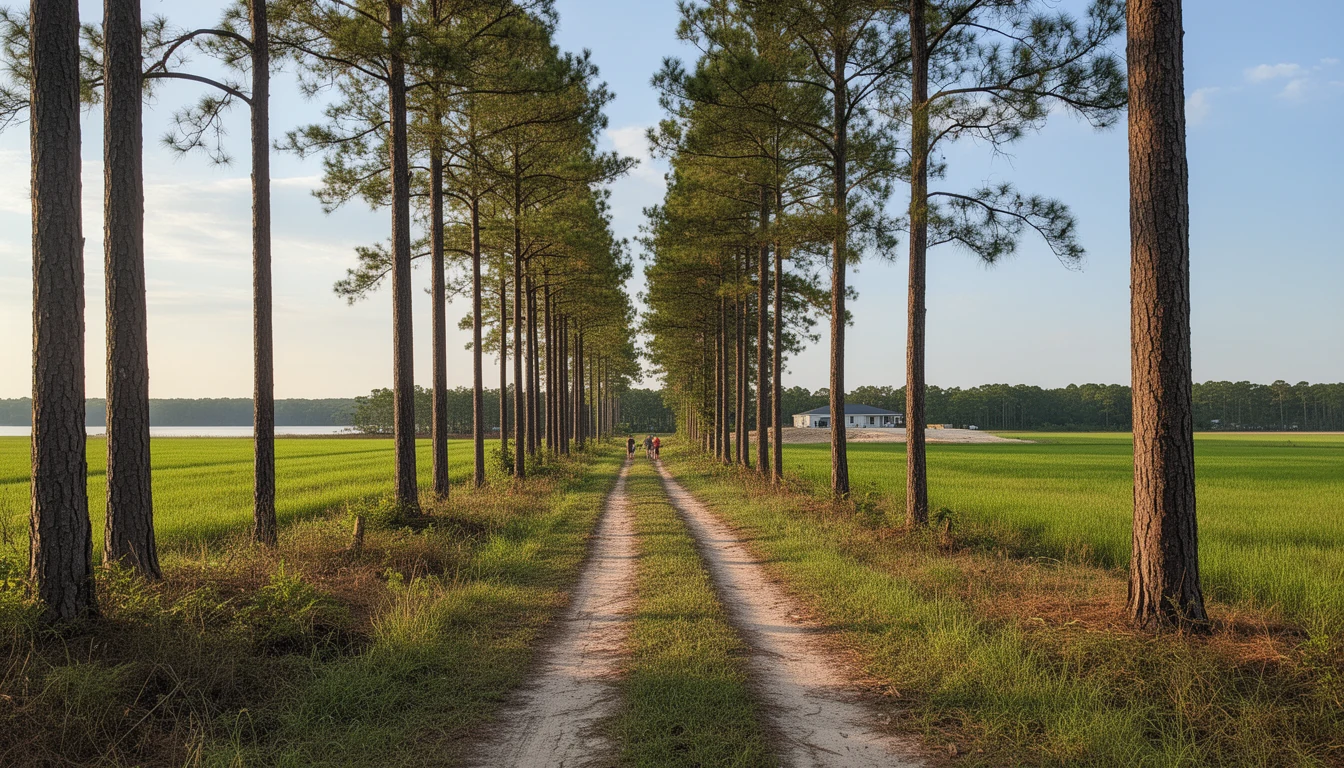
That mark explains something you will notice on the drive out toward Grifton: long, mown stretches of river bottom with nothing on them. No houses, no trailers, no barns. Grass, a few pecan trees, and a fence that belongs to somebody down the road.
That ground is not empty because nobody wants it. It cannot be built on. Not by the owner today, not by whoever buys it next, and not by their grandchildren. The reason goes back to one week in 1999, and it changes how you read every listing near the Tar River.
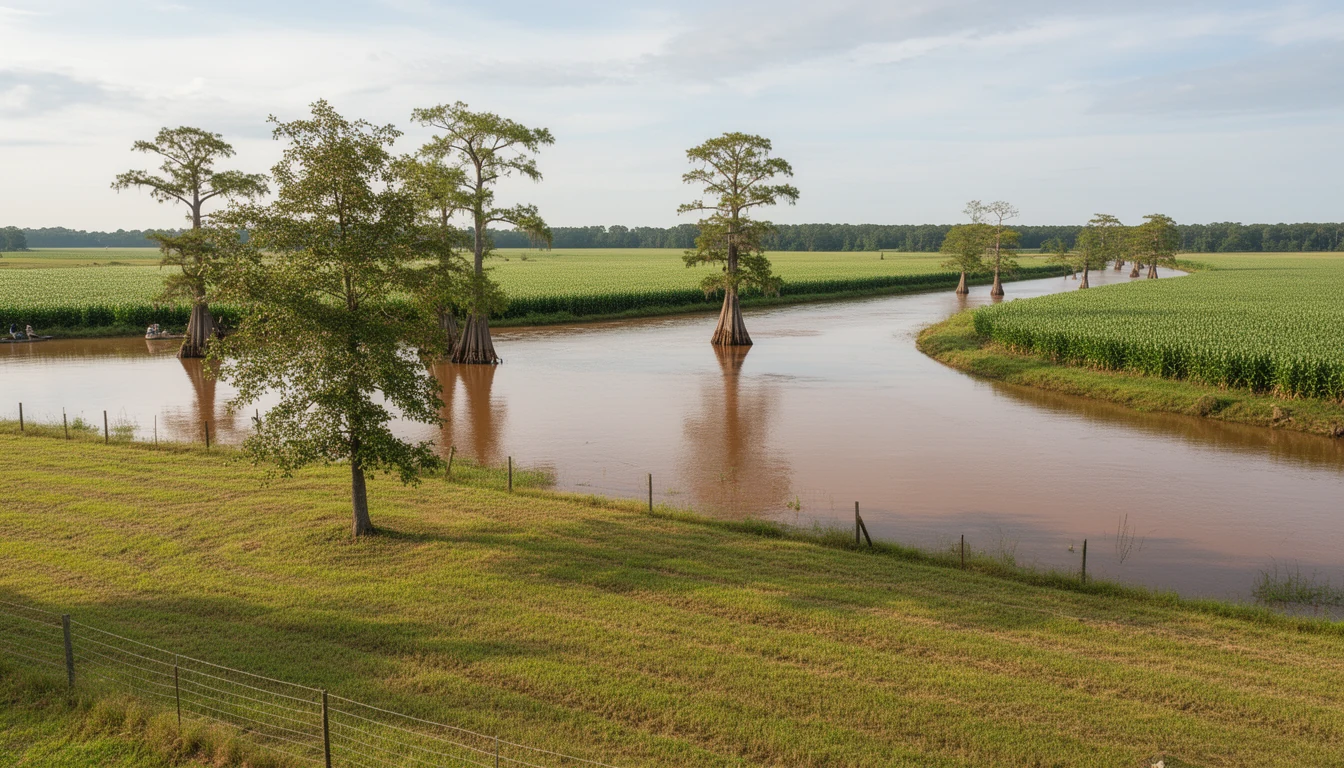
The river went to nearly thirty feet
Floyd came ashore near Cape Fear on September 16, 1999 as a Category 2 hurricane, and the wind was not the story. Ten days earlier, Hurricane Dennis had dropped about 8 inches of rain on ground that had been dry all summer. Then Floyd put another 20 inches on Greenville.
The USGS gauge on the Tar at Greenville, station 02084000, shows the peak on September 21, 1999 at 29.72 feet, moving 73,000 cubic feet per second. That is almost eight feet above the previous record of 22.07 feet, set in 1940. Nothing since has come close: the highest peak recorded in the years after is 19.81 feet, in November 2020.
You can still find the height of it in town. The National Weather Service put a high water mark plaque at the Stasavich center for exactly that purpose, and the pole beside it is higher than most people are tall.
The damage count is worth sitting with, because it is what made the county change its mind about the bottomland. More than 670 homes were damaged inside Greenville, with roughly 200 more outside the city limits. Greenville Utilities Commission’s power station, water treatment plant, and sewage treatment plant all flooded. East Carolina University closed for two weeks, and nearly 5,000 students and other residents near the river were pushed out of their apartments and homes. The city put its own loss, together with its residents’, at more than $91 million. Floyd killed 35 people in North Carolina, and the worst of the water arrived days after the wind left.
The rule that made the empty lots
What happened next is called a buyout. FEMA’s Hazard Mitigation Grant Program pays a homeowner for a property that floods, and in exchange the structure comes down and the ground stays open. Since 1993 the program has funded the acquisition of more than 55,000 flood-damaged properties nationally, and the terms are strict: the land has to be dedicated to open space, recreation, or wetland use, and deed restrictions get attached to the title that limit what can ever be built there again.
Pitt County did this deliberately, after Floyd and after the hurricanes that followed. The county’s buyout leasing page, updated in June 2025, counts 120 properties totaling 295 acres acquired through the Hazard Mitigation Grant Program.
The current list is specific. Six parcels sit on Stokes Road in Greenville, with more on Old River Road, Old Creek Road, and Harley Lane. There are two on Country Club Drive in Ayden, and two in Grifton on Boss McLawhorn Road and Jolly Ole Field Road. Every one of them is ground the county paid to keep empty.
What the county does with that ground now
Buyout parcels still have to be mowed, and the county is not in the lawn business. So the Board of Commissioners set up a lease program: an adjacent property owner can lease a parcel and maintain it, for a 10-year term and a one-time fee of $10. The uses allowed are open space, recreation, and wetland. Structures are not on the list. Lessees who stay in compliance get priority when the next 10-year cycle comes around.
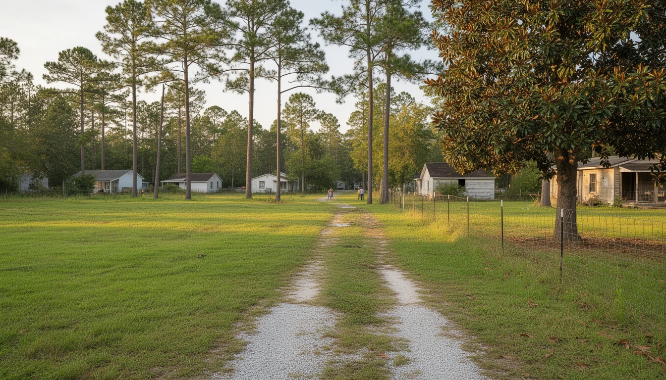
So the field next door to that house on the river bottoms is not a farm, not a stalled subdivision, and not a land bank waiting on a better market. It is a lease, and the person mowing it probably lives across the road.
Why that matters when you are the buyer
A buyout list is a drainage map that somebody else paid to draw. Those 295 acres are the places where public money was spent to remove homes rather than repair them, and knowing where they are tells you more about how water moves through a part of Pitt County than any listing description will.
Three practical things follow from that.
First, if you buy next to a buyout parcel, part of your view is protected in a way that is rare around a growing city. Nothing is getting built there, not a duplex, not a storage building, not a cell tower.
Second, a lease does not come with your deed. The neighbor’s arrangement with the county is between the neighbor and the county. If the field laps over onto what you thought was your side of the fence line, that is a survey question, not a promise.
Third, and this is the one people miss, the same ground that makes a good buffer marks the ground that flooded worst. A lot that backs up to bottomland can be a fine place for a house site measured in feet above the mapped line, and a bad place to put a shop slab if you are guessing at the elevation. The buyout map tells you where not to guess.
Greenville’s own flood math
Greenville is a National Flood Insurance Program participant with its own Flood Damage Prevention Ordinance, and the city carries roughly 10,004 acres of mapped floodplain inside its jurisdiction. The effective Flood Insurance Rate Maps for the city and its extraterritorial area rest on the July 7, 2014 Flood Insurance Study. The Town Common, the 20-acre strip of riverfront park between downtown and the Tar, sits inside that mapped area, which is the same reason it is a park and not a neighborhood.
Two tools make this quick to check on a specific address. FEMA’s Flood Map Service Center at msc.fema.gov will show you the panel, and Pitt County runs a Forerunner flood platform where you can pull risk information by address. If a map or a zone line is unclear, the county floodplain staff at 252-902-3250 will talk to you about it.
Before you make an offer near the water
- Pull the FEMA panel for the exact parcel, not the neighborhood, and read the zone letter off the map.
- Ask the county whether any parcel on that street is a buyout property. The list is public and updated.
- Get the elevation certificate, or budget for a surveyor to produce one. It prices your insurance. It does not remove the requirement.
- Get a real flood insurance quote in writing while your due diligence period is still open. A new NFIP policy takes effect at 12:01 a.m. on the 30th day after application and payment, so a fast closing can leave a gap.
- Walk the ground after a heavy rain, and look at where the water actually goes.
Here is the trade, stated plainly. Bottomland near the Tar is cheaper than upland, and some of the best hunting and timber ground in the county is down in it. The discount is real, and so are the annual premiums, the building rules if you ever add on, and the smaller pool of buyers when you sell. Buying the frontage and building on the rise is a trade plenty of people around here have made and been glad about.
The buyout map is not a warning about Pitt County. It is the county’s memory, written into deeds: this is where the water went, and this is where we decided not to put it back. Read it before you pick a lot and you will understand the ground you are standing on better than the listing does.
If you are looking at property near the Tar, call or text Travis Old at Horizon Real Estate Group, (252) 202-4945. He will pull the FEMA panel and the buyout list for the specific address and walk the elevation questions with you before you commit a dollar to it.
Sources and assumptions: river crest, peak flow and record comparisons come from the USGS National Water Information System annual peak streamflow file for station 02084000, retrieved September 25, 2026. Storm rainfall, damage counts, utility flooding, ECU closure and loss figures come from the N.C. Highway Historical Marker Program marker in Greenville, and the high water mark plaque detail from the Historical Marker Database entry for that marker. Buyout acreage, property counts and lease terms come from Pitt County’s Buyout Property Leasing Program page, updated June 2025, and the open space and deed restriction requirements from the Environmental Law Institute’s floodplain buyout research. Floodplain acreage and map vintage come from the City of Greenville’s Flood Information page. The insurance waiting period comes from 44 CFR 61.11. Buyout lists, flood maps and county programs get revised; verify the current list and panel for any specific parcel. This is the informed opinion of an automated system based on the sources cited, not legal, insurance, or appraisal advice.