9 Free Resources Every Pitt County Buyer Should Bookmark

In this post
I have a folder on my phone for every Pitt County buyer I work with. It does not hold listings. It holds links.
Nine of them are free and public. Every one is maintained by somebody other than a salesperson. Together they answer most of the questions that decide whether a property is worth your weekend: who owns it, what is recorded against it, what the county thinks it is worth, what you may build there, whether the water line reaches it, whether it floods, which school an address feeds, where the down payment money can come from.
None of them replaces a survey, an inspection, or a title search. What they do is keep you from spending $600 on those things for a house that fails the first five questions.
1. The Register of Deeds
Start where the paper trail starts. The Pitt County Register of Deeds sits at 100 E. 1st Street in Greenville, and the phone number is 252-902-1650.
This is where deeds, deeds of trust, plats and the rest of a parcel’s recorded history live. Ask for the deed and the plat, then ask for anything else recorded under the seller’s name. A plat tells you where the lines were drawn. A deed tells you what was conveyed and what was carved out. Deeds of trust tell you what is owed and what has to be satisfied at closing.
Two things surprise buyers. First, the subdivision plat is often the only place the restrictive covenants appear, and those covenants can control fences and outbuildings, right down to whether you can park a boat in the driveway. Second, the office runs a Property Check alert that notifies an owner when a document is filed under their name or address. Sign up after closing and you will know the day a stray lien or a forged deed shows up.
What it will not tell you: whether those covenants are actually enforced, what condition the house is in, or whether the seller has a handshake agreement with a neighbor about the driveway. That takes a conversation and an attorney.
2. Tax Administration and OPIS
Pitt County Tax Administration maintains the parcel record, and the county’s Online Parcel Information System puts it on a map. Ownership, address, parcel ID, acreage, deed reference, assessed value: all of it sits in one place, and the ownership data is refreshed nightly.
I use OPIS before I use anything else because it answers the cheap questions. Is this one parcel or three? Does the lot back up to the creek or stop short of it? Is the house inside the city limits or out in the county? Which planning jurisdiction is it in? The map layers cover floodplain, planning jurisdiction, road maintenance responsibility.
The tax record also tells you what the county thinks the property is worth, which is not the same as what it will sell for. Pitt County bills taxes each July, and they are due September 1. They are not delinquent and do not accrue interest until January 6. County, fire and EMS rates are set each year by the Board of Commissioners, and each town sets its own municipal rate. A house on the Greenville line can carry a different total than a house a mile away, and the bill shows it.
The county says plainly that its maps are a visual reference, not a survey. Treat a fence line on OPIS as a question to ask, not a boundary to argue.
3. Zoning and permits in the county
Pitt County’s Land Use and Zoning pages cover the ground outside the town limits. Zoning maps, the Envision Pitt County 2045 future land use map, the rezoning process, special use permits and variances all live there.
This matters more than most buyers expect, because the county can deny a special use permit even when an application meets the ordinance. The Board of Adjustment weighs whether a use would endanger public health or safety, reduce nearby property values, or fail to fit the surrounding area. That is a judgment call, not a checklist. If your plan for a parcel depends on a use permit, read the process before you make the offer, not after.
The permitting side is where floodplain and septic rules surface. Pitt County reviews permits for zoning, building code and floodplain compliance. A Flood Development Permit is required when any part of the property sits in a mapped floodplain. Septic work needs an Improvement Permit and an Authorization to Construct before a building permit is even submitted.
And the jurisdiction split catches people: Farmville, Winterville and Greenville issue their own building permits. A lot inside Winterville does not go through the county for its permit, even though the county handles septic approvals when they apply.
4. Greenville’s Planning Division
Inside the city, the Planning Division coordinates land development and zoning requests across a jurisdiction of about 65 square miles. Its planning pages carry the zoning map and the comprehensive plan, plus the zoning compliance application.
Pull the zoning classification for the parcel and read the dimensional standards: setbacks, height and lot coverage, plus what accessory structures are allowed. Then look at what is next door and what the future land use map says about the block. The house you are buying is priced against the neighborhood that exists. The zoning tells you what could replace the house next door.
5. Greenville Utilities Commission service maps
Greenville Utilities Commission provides electric, water, sewer and natural gas service to the City of Greenville and about 75 percent of Pitt County. Its service territory maps are published by utility, one map each.
This is the difference between a building lot and a very expensive field. GUC serves all of Greenville and large parts of the county, but the edges are not obvious. Winterville serves its own residents east of the Fork Swamp Canal on Worthington. Ayden and Grifton serve customers inside their town limits. Bell Arthur Water Corporation serves most of the area west of Greenville.
If the map leaves you guessing, call GUC at 252-551-1551 with the street address. A water and sewer tap can run into the tens of thousands of dollars when a line has to be extended, and that number belongs in your offer math, not in your closing week.
6. FEMA’s Flood Map Service Center
The Flood Map Service Center is the federal source for effective flood maps and flood zone determinations. Type in the address or coordinates, and it will tell you which map panel covers the property and which zone applies.
Pair it with the county’s floodplain layer in OPIS. One shows you the official panel. The other shows you how the parcel sits on the county’s copy of it. When they seem to disagree, that is a question for the county floodplain administrator, and it is worth asking before your lender or your insurance agent asks you.
7. flood.nc.gov
The state runs its own flood information center, and it fills a gap the federal map does not. Its property risk section reports flood hazard for a specific address, along with estimated structural and content impacts and potential insurance rates. It also publishes a county status map for flood insurance studies and the letters of map change that revise a panel. The Flood Inundation Mapping and Alert Network streams rain and river gauge data and issues real-time alerts.
I use the gauge network differently than the map. Before a showing on low ground near the Tar, I look at what the river has been doing for the past week. A parcel that has been under water in the last month tells you more about the driveway than any listing photo.
8. Pitt County Schools’ School Zone Finder
The district’s School Zone Finder takes an address and returns the zoned elementary, intermediate and high school. The Student Assignment office at 252-830-4238 makes the official determination.
Here is the part buyers get wrong. The school printed on a listing sheet is often the one nearest the house, and nearest is not assigned. Attendance lines do not follow ZIP codes or subdivision lines, and they can be redrawn between the time a listing goes up and the day you close. Run the address yourself, then call the district if the answer decides the purchase.
I do not rank schools here, and I will not. What an assignment tool can tell you is which building an address feeds. Whether that building is right for your kid is your call, and test scores and program details are the district’s business to publish, not mine to summarize.
9. NC Housing Finance Agency
The state housing finance agency publishes home buyer programs, including down payment help, through NC Home Advantage. It is not a Pitt County office, but it is free to check and it is the first place I point buyers who are close on cash.
Program terms and income limits change, and available funds run out. Read the current page, then take it to a lender who writes those loans. A program that existed in the spring may be closed by the time you are under contract. The agency’s site carries the current terms, and the lender confirms what you actually qualify for.
Here is the order I use. If you only have an hour, spend it like this. Run OPIS for the parcel and jurisdiction. Pull the deed and plat at the Register of Deeds. Check the flood panel and the state risk page. Call the utility if the lot is outside town. Then run the school address, and only after all of that start thinking about the house itself.
The records are not the fun part of buying land or a house in Pitt County. They are the part that keeps the fun from turning into a nasty surprise in the third week of due diligence. Nine free links and one Saturday morning will tell you more about the property than most of the people bidding against you.
If you are working through a parcel and want a second set of eyes on what the records actually say, call Travis Old at Horizon Real Estate Group. He will pull the same nine sources with you before you write an offer.
Sources and assumptions: The Register of Deeds address and phone number come from the Pitt County Register of Deeds page, which also describes the Property Check alert. Parcel data and the county’s mapping disclaimer come from Pitt County’s OPIS and Maps page. Tax billing dates come from Pitt County Tax Administration. Permit jurisdiction and septic approvals come from Pitt County Permitting and Inspections, with zoning process detail from Land Use and Zoning. The 65-square-mile figure comes from the City of Greenville Planning page. Utility territory descriptions come from Greenville Utilities Commission’s Service Territory Maps and Water Area Served pages, retrieved November 19, 2026. Flood risk tools come from the North Carolina Flood Information Center at flood.nc.gov. Effective flood maps come from FEMA’s Flood Map Service Center. School assignment details come from Pitt County Schools’ Student Assignment and School Zone Finder pages. Down payment programs come from the NC Housing Finance Agency. Programs, fees, map panels and attendance lines change, so verify the current source before you rely on any of it. This is the informed opinion of an automated system based on the sources cited, not legal, engineering, lending, or appraisal advice.
Keep reading
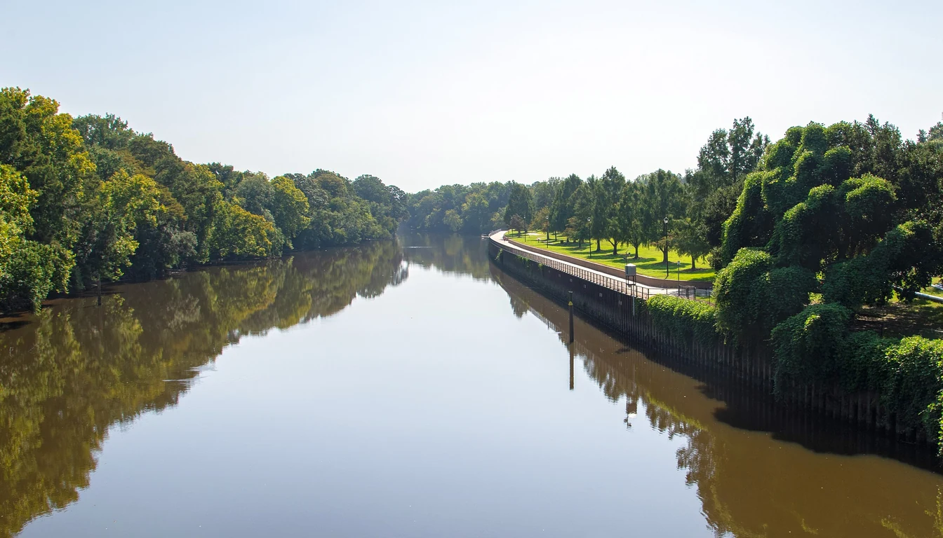
Greenville's Greenway: Streets, Trailheads, What's Next
Nine miles of paved trail follow the Tar through Greenville. Here are the streets it touches, the trailheads that matter, and what gets built next.
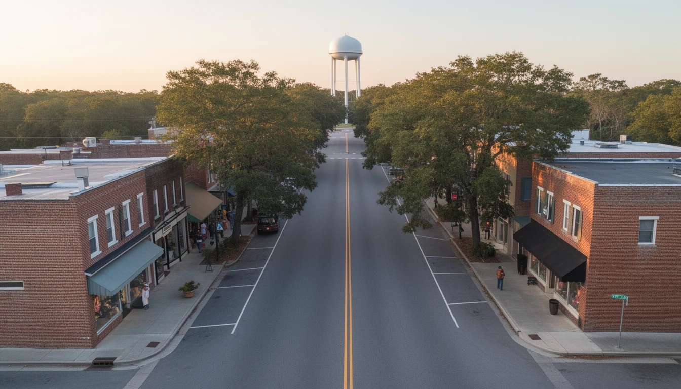
Greenville vs Winterville vs Ayden: A Buyer's Comparison
Greenville, Winterville and Ayden trade drive time, house age and taxes differently. A working comparison of what each town asks of a Pitt County buyer.
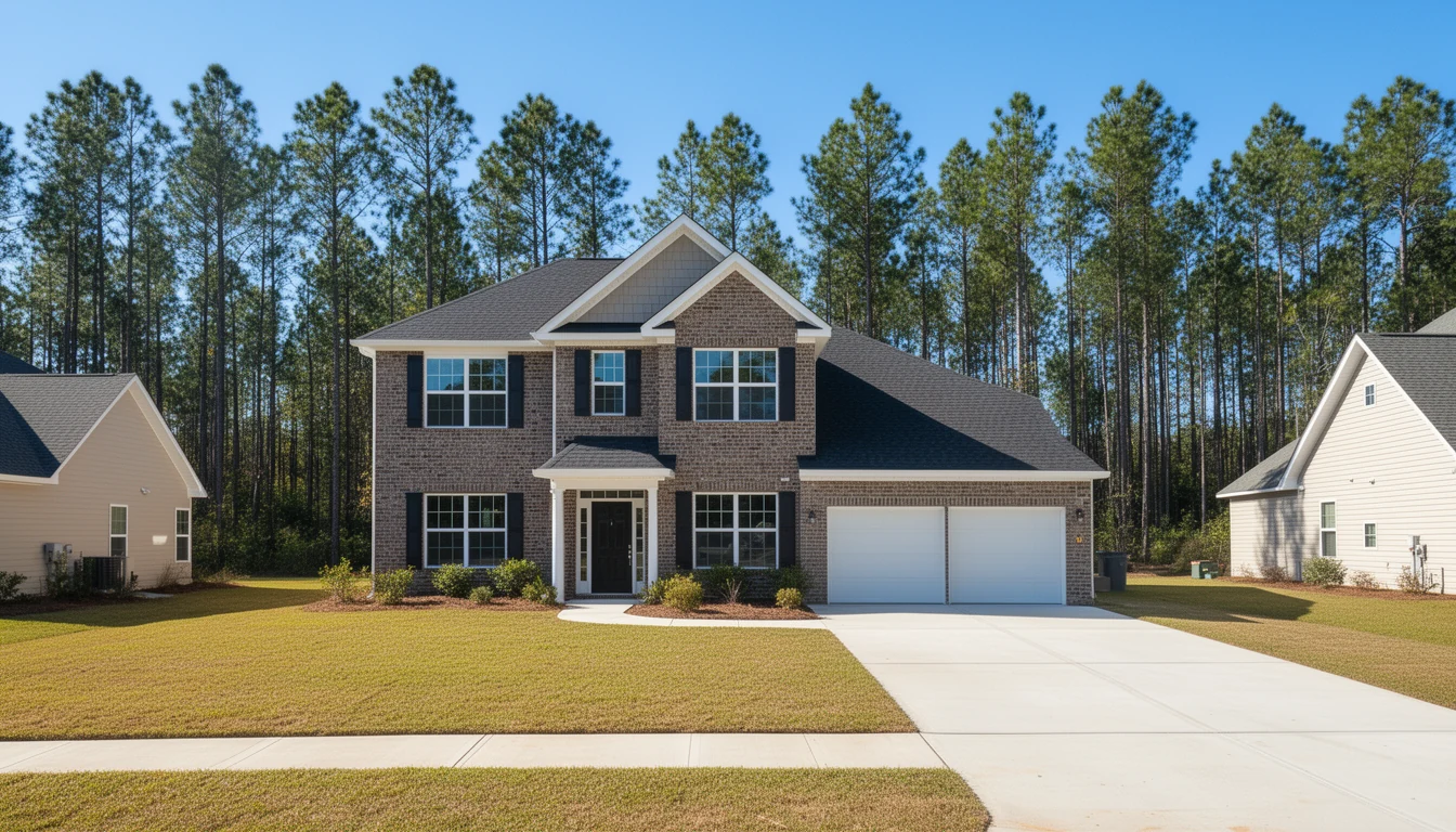
7 Builder Contract Clauses Pitt Buyers Should Never Skip
A builder's contract isn't the standard NC resale form. Seven clauses Pitt County buyers should read closely before signing in Winterville or Greenville.