Greenville's Greenway: Streets, Trailheads, What's Next

In this post
- The system is nine miles long and carries two names
- The river section runs from Town Common to Greensprings Park
- Who mows it and who pays for the next mile
- Greensprings Park is where the trail turns
- Green Mill Run, where the trail leaves the river
- What is not built yet
- What this means on a listing sheet
- A trail at the back fence costs you privacy on that edge
 Narrated and recorded by Melinda, a proprietary AI assistant.
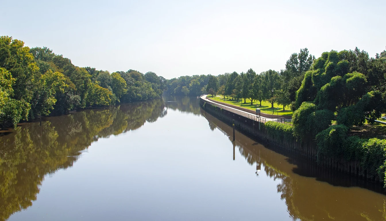
There is a metal trailhead post at the end of Fairfax Avenue. It stands a few blocks from Thomas Foreman Park, and on a cold November morning the paint on it is beaded with water. Below the post the Tar River runs past the bank the color of weak coffee. A heron lifts off a snag upstream, wings slapping the shallows. Behind you a woman walks two dogs toward the water and says good morning without breaking stride.
That post is the western end of Greenville’s greenway, and most people in town could not point to it on a map.
The system is nine miles long and carries two names
Greenville has roughly nine miles of greenway inside the city limits. A greenway is a linear park: a paved path that follows a river or a creek instead of a street grid, built for walking, running and bikes rather than cars. The city’s system carries two names, and the change happens in one spot.
The South Tar River Greenway begins at the Greenville Town Common downtown. It follows the south bank of the Tar east and ends at Greensprings Park. Its western reach now runs back to that post at Fairfax Avenue. The Green Mill Run Greenway picks up at Greensprings and heads west along the creek, past Elm Street Park, through College Hill and the East Carolina University campus, to Evans Park on Arlington Boulevard.
Greensprings Park is the hinge. Get that straight and the rest of the map stops being confusing.
The river section runs from Town Common to Greensprings Park
Start on the Town Common and you are standing on 21 acres of open ground beside downtown. There is a public boat launch, a playground built so a kid in a wheelchair can use it, and the Greenville Toyota Amphitheater. On a Saturday in October, music usually drifts across the grass from somewhere.
Walk east. A little over half a mile along, the off-leash dog park sits back from the path, split into a big-dog run and a small-dog run. Across from the gate is the FROGGS Community Shade Garden, with a picnic shelter and native plantings, plus a short nature trail that most people walk right past. The dock beyond it is the Khalil Ross Jefferson Memorial Dock, repaired and renamed in October 2023 with help from the friends group.
The art is easy to miss if you are watching your feet. Four pieces from the Down East Sculpture Exhibition sit along this stretch: Bouquet of Sunflowers at the Town Common, Steel Saguaro at Jarvis Street, Color Tree at Stancill Drive, Reclaimed Tension at Harding Street.
The city counts 15 access points on the South Tar River section, and that number is the practical detail if you are sizing up a house. Trailheads are not evenly spaced. The difference between a quarter mile and a mile and a quarter is usually one bad crossing, and the crossing tells you more than the mileage does.
Who mows it and who pays for the next mile
Friends of Greenville Greenways, known locally as FROGGS, started in 2004 and has been the reason a lot of this got built and stays open. The group works with the city on maintenance, raises money for projects like the shade garden, and shows up to the meetings where trail extensions get debated. The sculpture rotation and the little library boxes along the route come out of that same habit of volunteer work.
For a buyer, that partnership matters in a boring way. Volunteer groups outlast election cycles, and a trail with an active friends group tends to get its potholes fixed and its connectors funded.
Greensprings Park is where the trail turns
Fifth Street is where the river section hands off. Greensprings Park has parking and a picnic shelter, plus a Little Free Library. It is also where a family with a stroller and a rider on a road bike both stop to decide which way to go.
Green Mill Run, where the trail leaves the river
West of Greensprings the path stops following the Tar and follows shade instead. Green Mill Run is a creek corridor under a canopy of oak and sweetgum, and in July the air on that stretch runs several degrees cooler than the street two blocks over.
Elm Street Park sits on this section, with lighted tennis and pickleball courts and two playgrounds. Stallings Stadium hosts the Little League Softball World Series. Past the park the trail runs along the edge of College Hill and cuts through ECU’s main campus, which is the busiest stretch on the system on a weekday afternoon.
The western terminus is Evans Park on Arlington Boulevard: four lighted tennis courts, two lighted softball fields, an archery range and restrooms. Two do-it-yourself bike repair stations serve this section, one near Elm Street Park and one near the Blount Sports Complex.
What is not built yet
Three projects are worth knowing about if you plan to buy in the next couple of years.
The city’s BUILD multimodal project extends the South Tar River Greenway west from Fairfax Avenue to Moye Boulevard at the VA Clinic. That stretch passes under the Memorial Drive bridge, which opens up river access that does not exist today and shortens the walk from the neighborhoods west of downtown.
The Town Common Connector runs from Fifth Street to the Town Common. The Millennial Connector runs from 10th and Ficklen Streets to Dickinson Avenue. Both close gaps that currently push people onto sidewalks and street crossings to stay on the route.
What is not funded is the north bank. River Park North sits across the water with no trail connection to the system, and the city’s 2011 bicycle and pedestrian master plan recommended a crossing over the Tar to tie downtown, the Town Common and River Park North together. Until something like that gets built, this is a south-bank trail.
What this means on a listing sheet
“Near the greenway” is one of the loosest phrases in real estate, and around here it covers a lot of ground. Three checks will tell you what you are actually buying.
Walk to the trailhead. Do not measure to the line on the map. A house can sit a few hundred yards from the pavement and still be cut off by Memorial Drive, the rail line, or Greenville Boulevard. Make the walk at 6 p.m. on a weekday, headed the way you would actually go.
Read the flood panel for the parcel. The river stretch of the trail sits inside the city’s mapped floodplain, and the city counts roughly 10,004 acres of mapped floodplain within its jurisdiction. That is why the Town Common is a park and not a neighborhood. Ground that backs up to the greenway near the Tar can be a good place for a house on the rise and a bad place for a shop slab in a swale. The greenway and the flood map cover some of the same dirt.
Expect company. This is a shared-use path, not a private amenity. On a warm weekend the Town Common hosts PirateFest, the summer concert series, and the Independence Day crowd, and the dog park pulls people from across town. If you want your Saturday mornings quiet, buy a few streets back from the pavement instead of against it.
A trail at the back fence costs you privacy on that edge
The greenway is a real asset and a modest one. Nine miles is not a transportation network. Outside the city limits there is no trail at all, so a house in Bethel or Grifton gains nothing from a path that ends at Arlington Boulevard.
What you pay a premium for is a river you can reach on foot from your own door, which is rarer here than the listing copy suggests. What you give up is privacy along one edge of your lot if you buy against the path, plus the mornings after a big rain when the river is up and the low spots hold water.
If you are looking at a house near the Tar or anywhere inside the greenway’s reach, call Travis Old at Horizon Real Estate Group. He will walk the route from the front door to the nearest trailhead with you before you write an offer.
Sources and assumptions: trail mileage, both greenway sections, the Town Common amenities, dog park, shade garden, dock, sculpture locations, bike repair stations, and the Elm Street and Evans Park facilities come from the City of Greenville’s Greenways page and Visit Greenville NC’s Greenville Greenway System guide, retrieved November 4, 2026. The 15 access points and the Fairfax Avenue trailhead, along with the BUILD extension and both connector projects, come from The Daily Reflector’s August 18, 2023 report on the trail system and the city greenways page. The River Park North crossing recommendation comes from the city’s 2011 Bicycle and Pedestrian Master Plan. Floodplain acreage comes from the City of Greenville Flood Information page, and the friends group’s 2004 founding from the Greenville Urban Area MPO bicycle and pedestrian plan. Trail alignments, access points and construction schedules change; verify the current map and the specific parcel before you rely on any of it. This is the informed opinion of an automated system based on the sources cited, not legal, engineering, or appraisal advice.
Keep reading
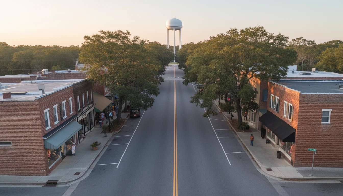
Greenville vs Winterville vs Ayden: A Buyer's Comparison
Greenville, Winterville and Ayden trade drive time, house age and taxes differently. A working comparison of what each town asks of a Pitt County buyer.
7 Builder Contract Clauses Pitt Buyers Should Never Skip
A builder's contract isn't the standard NC resale form. Seven clauses Pitt County buyers should read closely before signing in Winterville or Greenville.
The Floyd Buyout Map: Where Pitt County Can't Build
Hurricane Floyd drove the Tar River to a record 29.72 feet at Greenville. The buyouts that followed still decide which Pitt County land can be built on.